| |
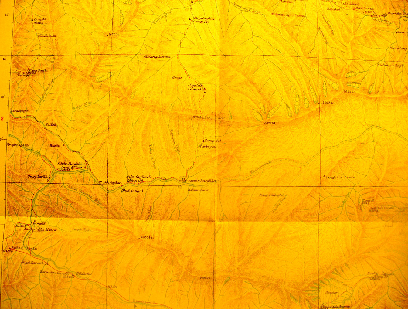
Detail of the eastern part of map sheet #17 - Shah i dulla - The
village is on the Karakash River near the western map edge. This is on the main
caravan route continuing here south up the river toward the Karakorum pass Here
the river is flowing SE to NW. Shah i dulla Mazar is on the river at 78 degrees
3' E - 36 Degrees 24' N. The mountains already reach to 23,757 feet elevation.
There are many glaciers. Stein's camps are at 10,000 feet and more. the
Hindustash Pass is at 17,750 feet by glacier passes over 11,000 feet. The
headwaters of the Sanju River and others flow north. The Kilian Pass north of
Shah i dulla is at 17,910 feet.
|
|