| |
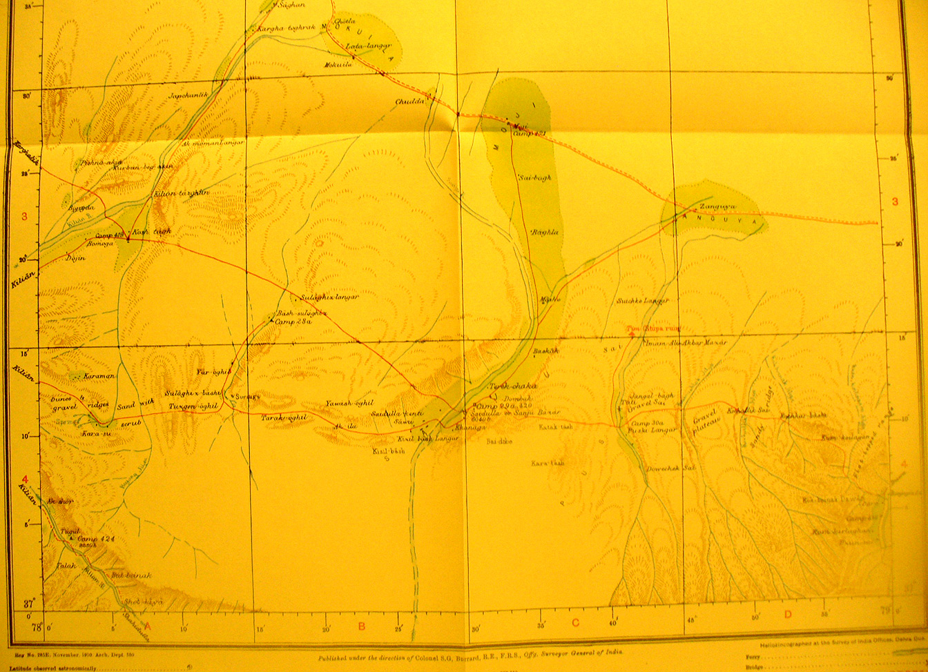
The southern half of map sheet # 16 - Sanju - This shows several of
Stein's exploration routes into the K'un-lun east of Kilian on which he crossed
the rivers that flow north out of the mountains. The Kilian River flows from
the southern border NW out of the map and then back in from the south-west and
the others from the southern edge. There is a ruined stupa at 78 degrees 14'E -
37 degrees 15' N. Sanju Bazar, also called Saidulla, is on the river at 6040
feet elevation in south center of the map. The route from Kargalik enters the
map from the north-west.
|
|