
|
SERINDIA MAPS - STEIN |
||
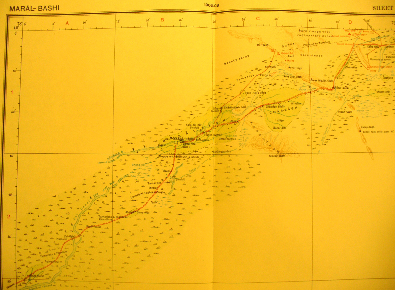
These are photos made from the original maps in Volume V of Serindia, Aurel Stein's report on his Second Expedition into Chinese Turkestan. |
||
 |
||
Detail of the northern part of map sheet # 15 - Marl-bashi - the survey shows areas adjacent to the line of march with Maral-bashi fort toward the north center. Also shown areTopa shahr sshrine and monastery, Tumshak tagh shahri fort. There are more ruins in the far NE map corner. The route to Yarkand exits in the SW corner and Stein did not survey the desert area immediately south of this map sheet, but continued on map sheet # 11 to the SW. |