
|
SERINDIA MAPS - STEIN |
||
These are photos made from the original maps in Volume V of Serindia, Aurel Stein's report on his Second Expedition into Chinese Turkestan. |
||
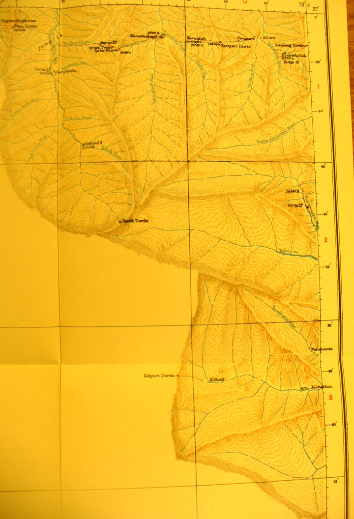 |
||
Detail of the eastern section of map sheet # 13 - Sarigart - This shows the mountains south of Yarkand and passes into the southern ranges. Sarigat Pass is at 13,800 feet |