
|
SERINDIA MAPS - STEIN |
||
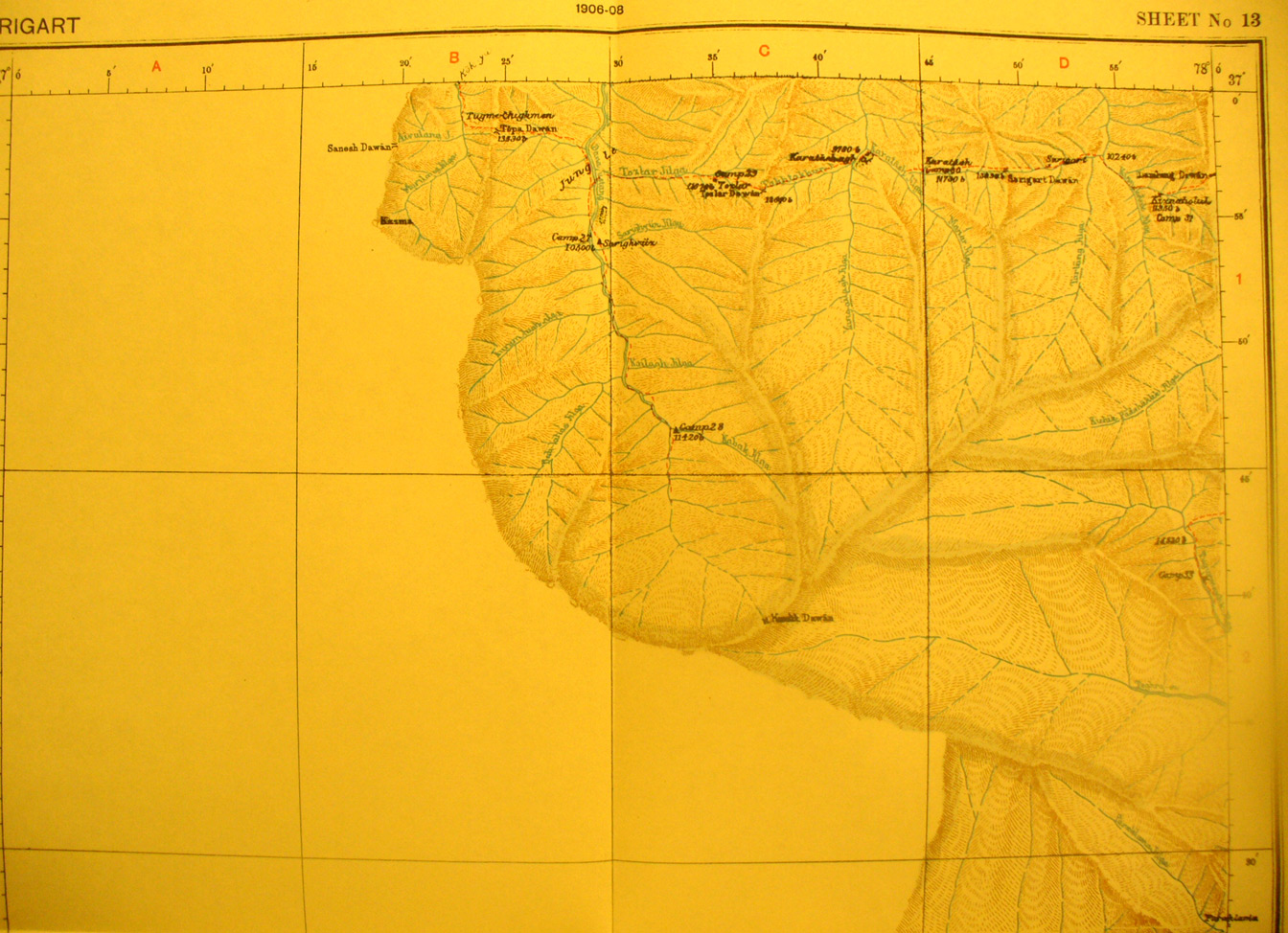
These are photos made from the original maps in Volume V of Serindia, Aurel Stein's report on his Second Expedition into Chinese Turkestan. |
||
 |
||
Detail of north eastern quadrant of map sheet # 13 - Sarigart - It shows some of the head waters of the Yarkand River due south of map sheet # 12 - Stein's survey of the other tributaries went east onto map sheet # 17. Note the pass at 11420 feet elevation where the western survey line ended. Sarigart pass and village are in the far north east area when Stein's route goes east - note also that he entered and left this sheet from the east toward the southern section. |