
|
SERINDIA MAPS - STEIN |
||
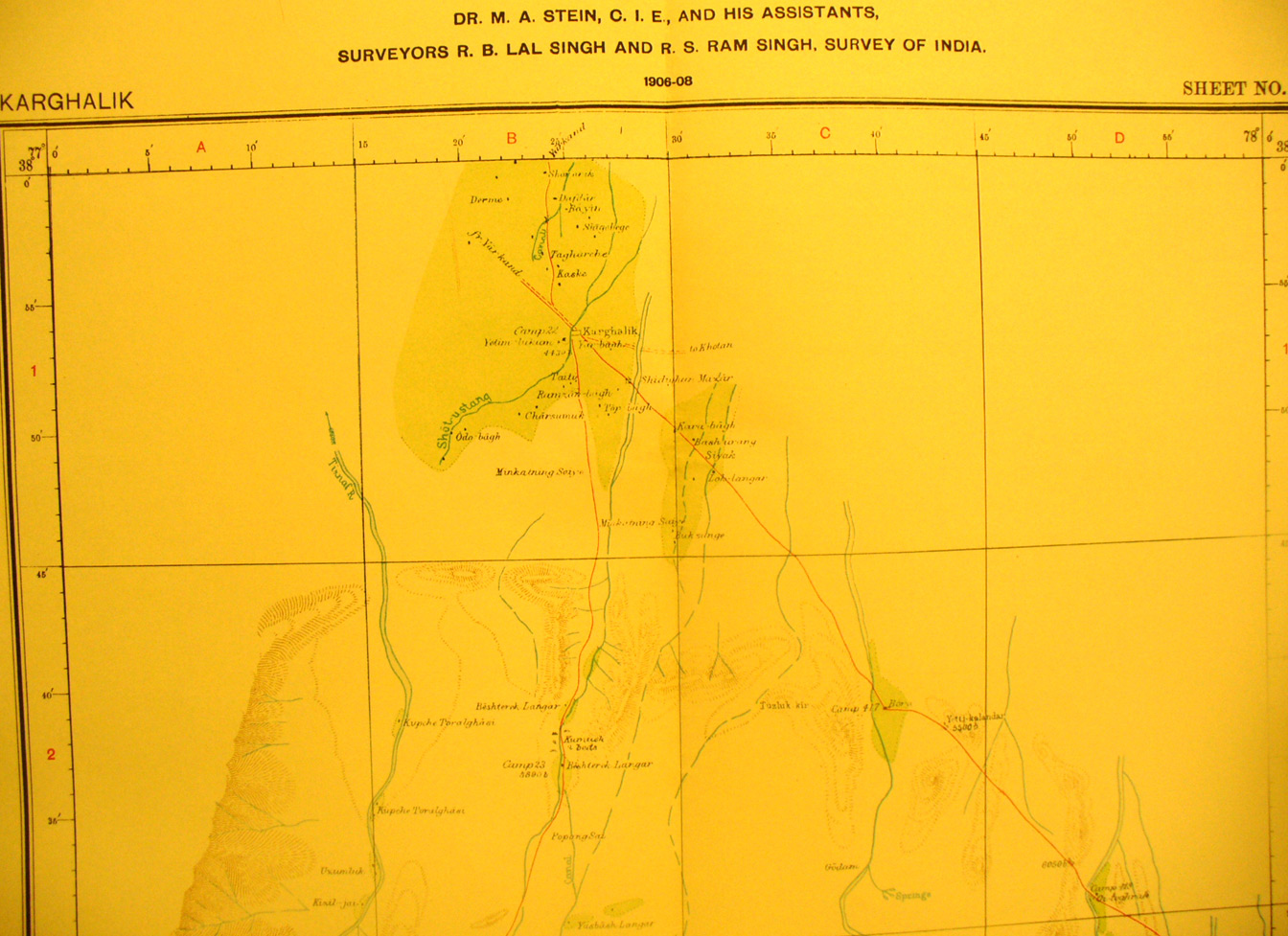
These are photos made from the original maps in Volume V of Serindia, Aurel Stein's report on his Second Expedition into Chinese Turkestan. |
||
 |
||
Detail of northern part of map sheet # 12 - Karghalik - This is continuation south of sheet # 11 that showed the Yarkand river - . Karghalik is at the northern edge. The Tiznaf River appears also in a small section of map sheet # 8 just west of this map sheet. |