
|
SERINDIA MAPS - STEIN |
||
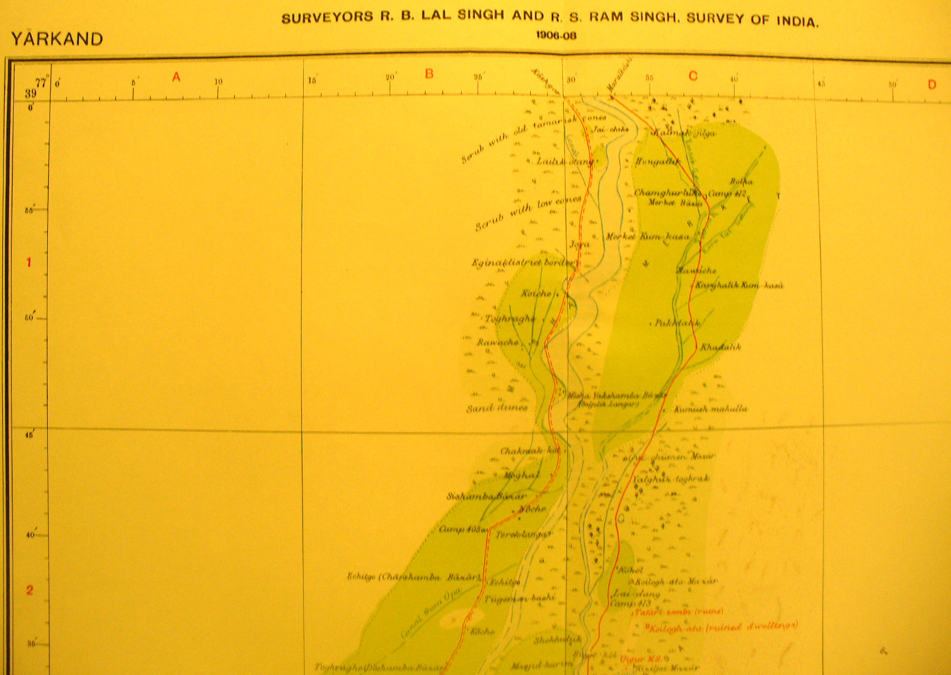
These are photos made from the original maps in Volume V of Serindia, Aurel Stein's report on his Second Expedition into Chinese Turkestan. |
||
 |
||
The northern half of map sheet # 11 - Yarkand - It shows the coninuation of the river flowing north into the desert with several ruins Stein found marked in red.The river is like the ancient Nile - with a huge annual flood - but with much less flow toward fall and of course it froze over winter. Desert marks a sharp boundary to the cultivation on both sides. |