| |
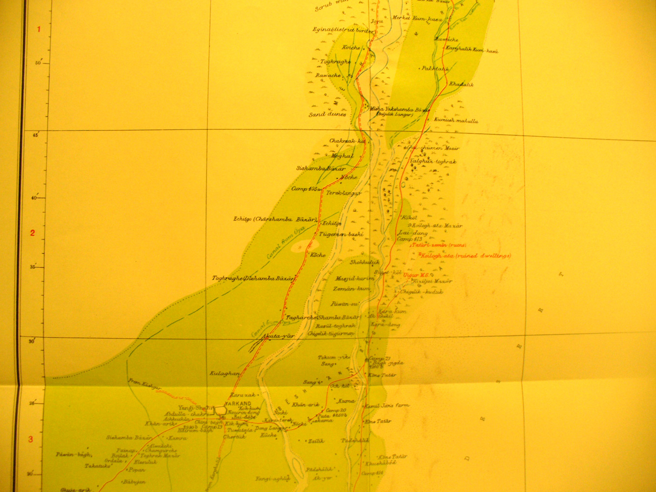
Detain of map sheet # 11 - Yarkand - It shows the area north of the
city with the Yarkand River flowing from the south to north with cultivation on
both sides. This area was greatly expanded between Stein's visits in 1900 and
1911. It shows the ruins of Tatar and Uigur places. The Yarkand River provided
a route across the desert between Yarkand and the Tarim basin. The river had
great seasonal flood in late spring with melting snow on southern mountains and
then very scanty flow in fall and what was left froze in winter.
|
|