
|
SERINDIA MAPS - STEIN |
||
These are photos made from the original maps in Volume V of Serindia, Aurel Stein's report on his Second Expedition into Chinese Turkestan. |
||
 |
||
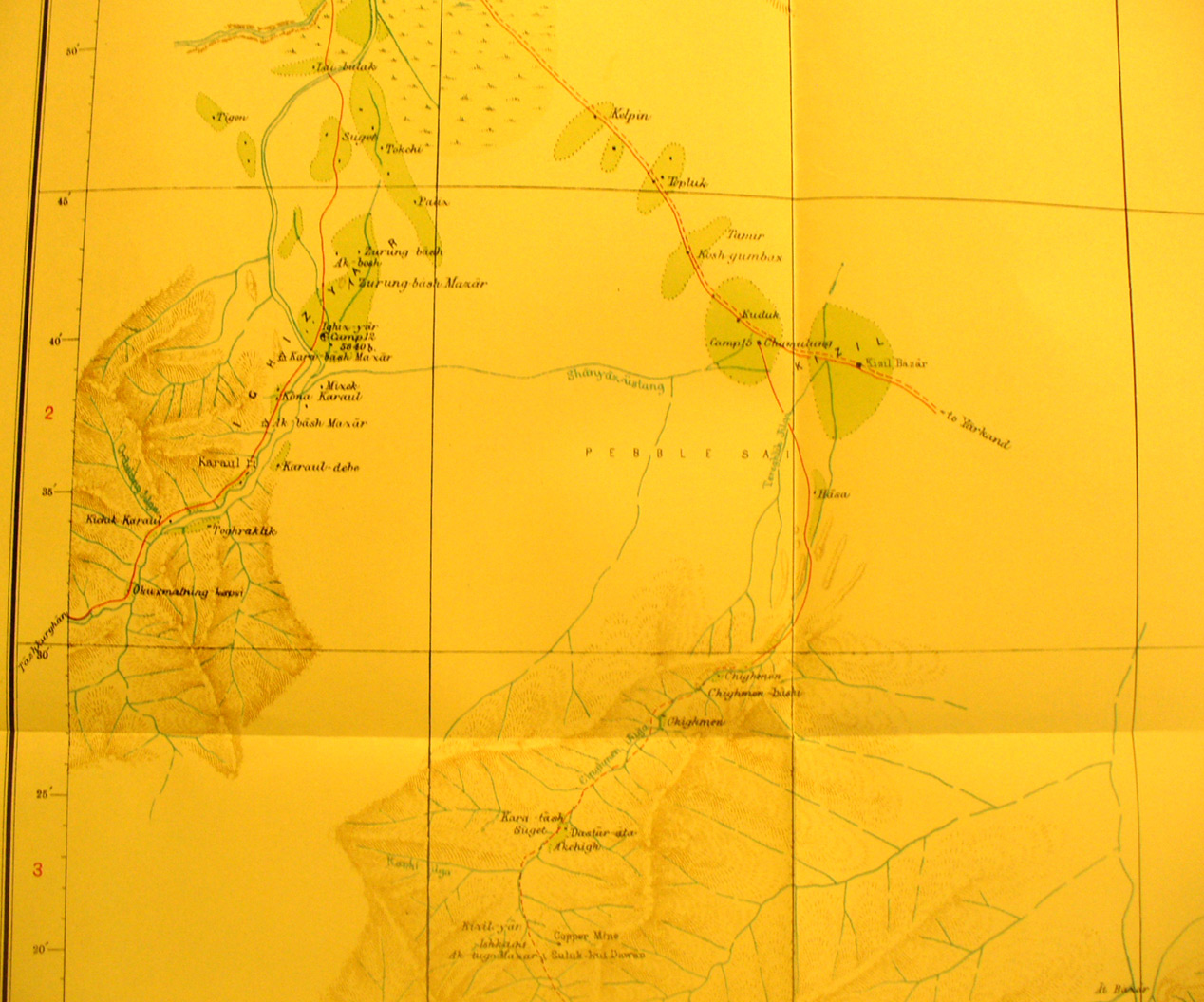
This detail from map sheet # 7 - Yangi-Hissar - The road from Tashkurgan through unsurveyed area enters from the south west. The road from Kashgar to Yarkand via Kelpin crosses from NW toward SE. Note the karul -fort blocking the road from Tashkurgan in a narrow pass. The road toward Yarkand is in open desert that was not surveyed. |