
|
SERINDIA MAPS - STEIN |
||
These are photos made from the original maps in Volume V of Serindia, Aurel Stein's report on his Second Expedition into Chinese Turkestan. |
||
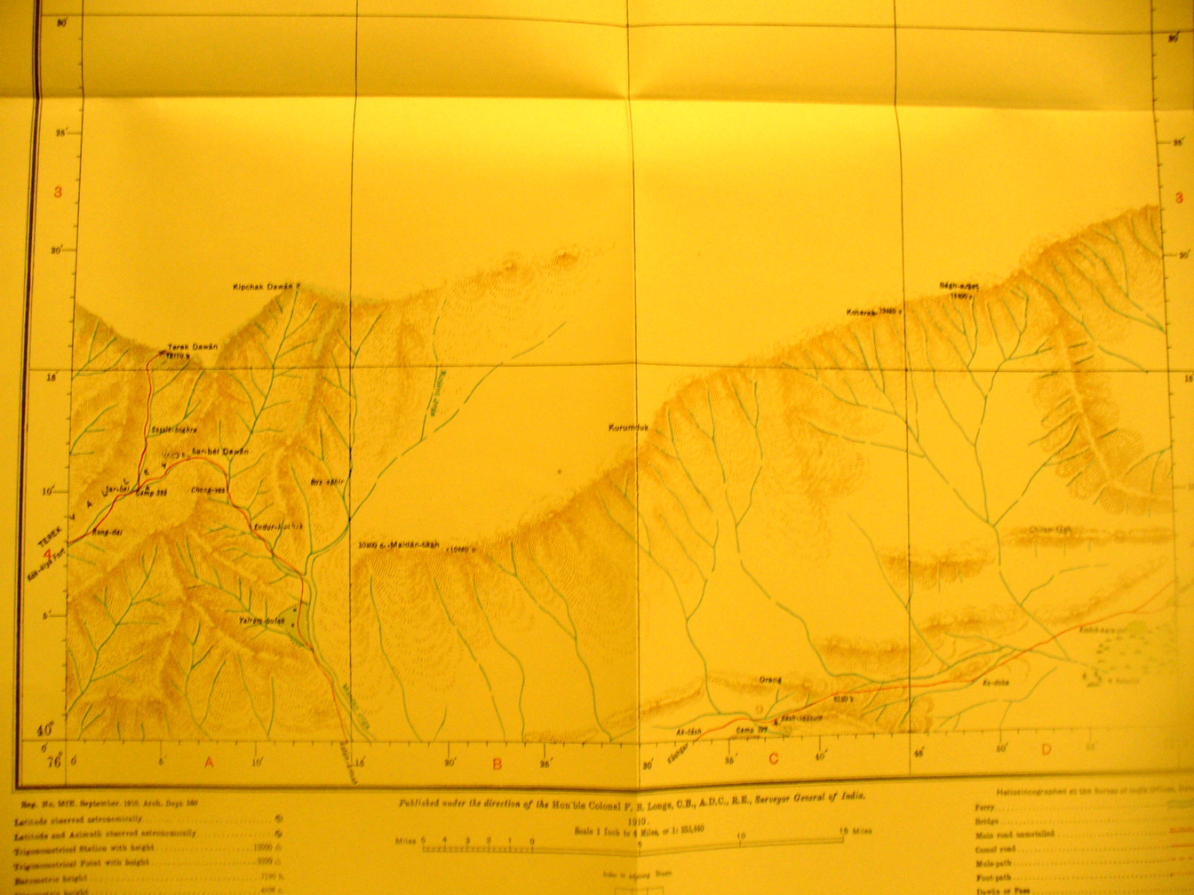 |
||
Map sheet # 5 - Terek Dawan - 76-77 E - 40-41 N - This shows the mouontains in the southern quarter with unexplored blank to the north. It is along the northern tier of surveying completed by R. B. Lal Singh. Kok-Kiya fort appears along with the Terek Pass at 12,100 feet elevation. The surveyor's route shows in red. |