
|
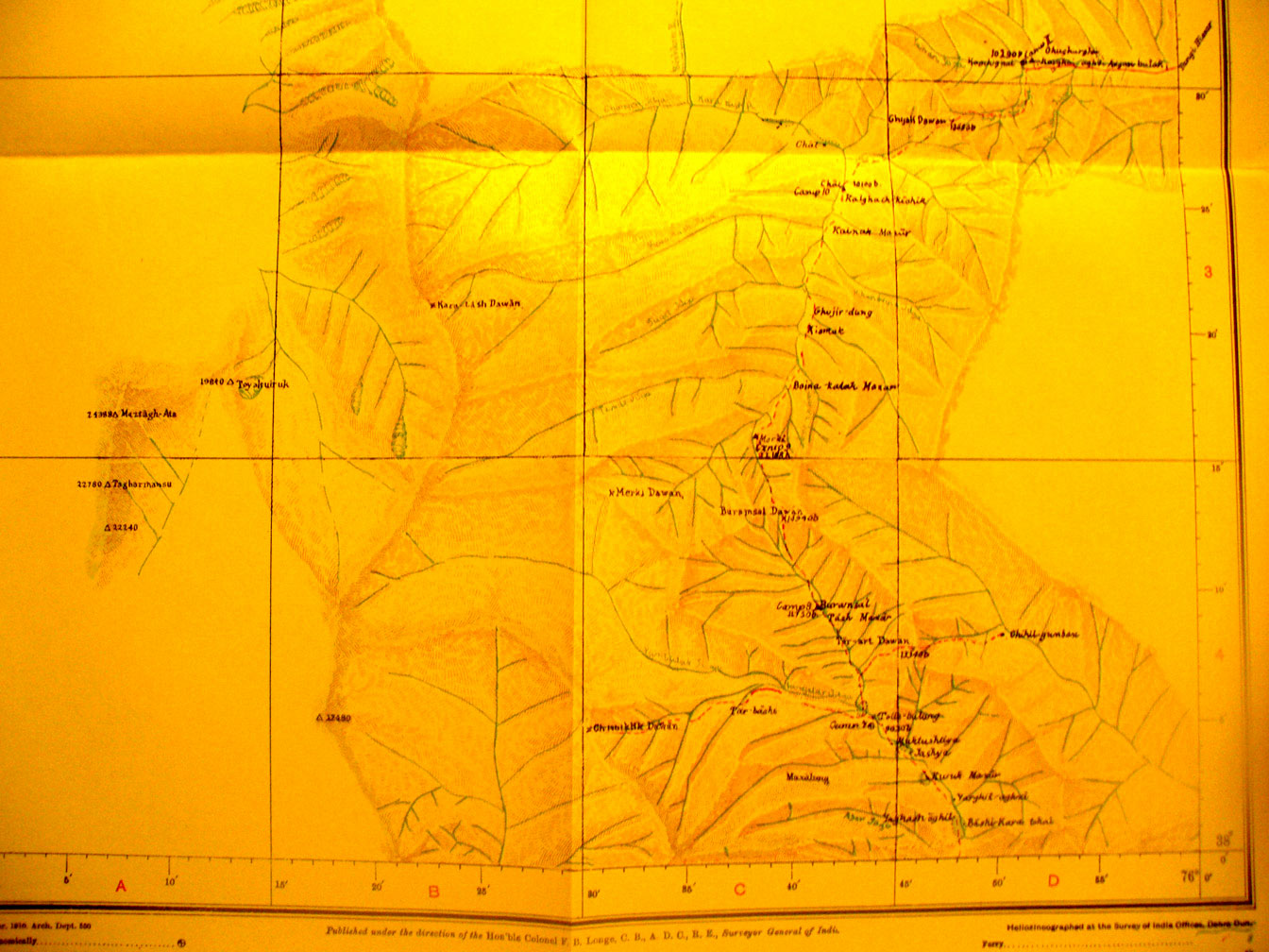
SERINDIA MAPS - STEIN |
||
These are photos made from the original maps in Volume V of Serindia, Aurel Stein's report on his Second Expedition into Chinese Turkestan. |
||
 |
||
Map sheet #3 - Kara - Tash River - 75-76 E - 38-39 N - The Buss-msal Paass is shown at 14,900 feet elevation. The head waters of the Kara Tash River flowing north are in the mountains in the southern half and the river appears again in a small area in the NE corner. |